Harbours and harbouring

Didn’t manage a swim last Thursday the 9th of January. I was super tired and also the weather was unexpectedly chilly. This could have provided the ingredients for a surprisingly warm swimming experience as the temperature of the water would not have dropped as much as the temperature of the air, but I did not venture to find out.

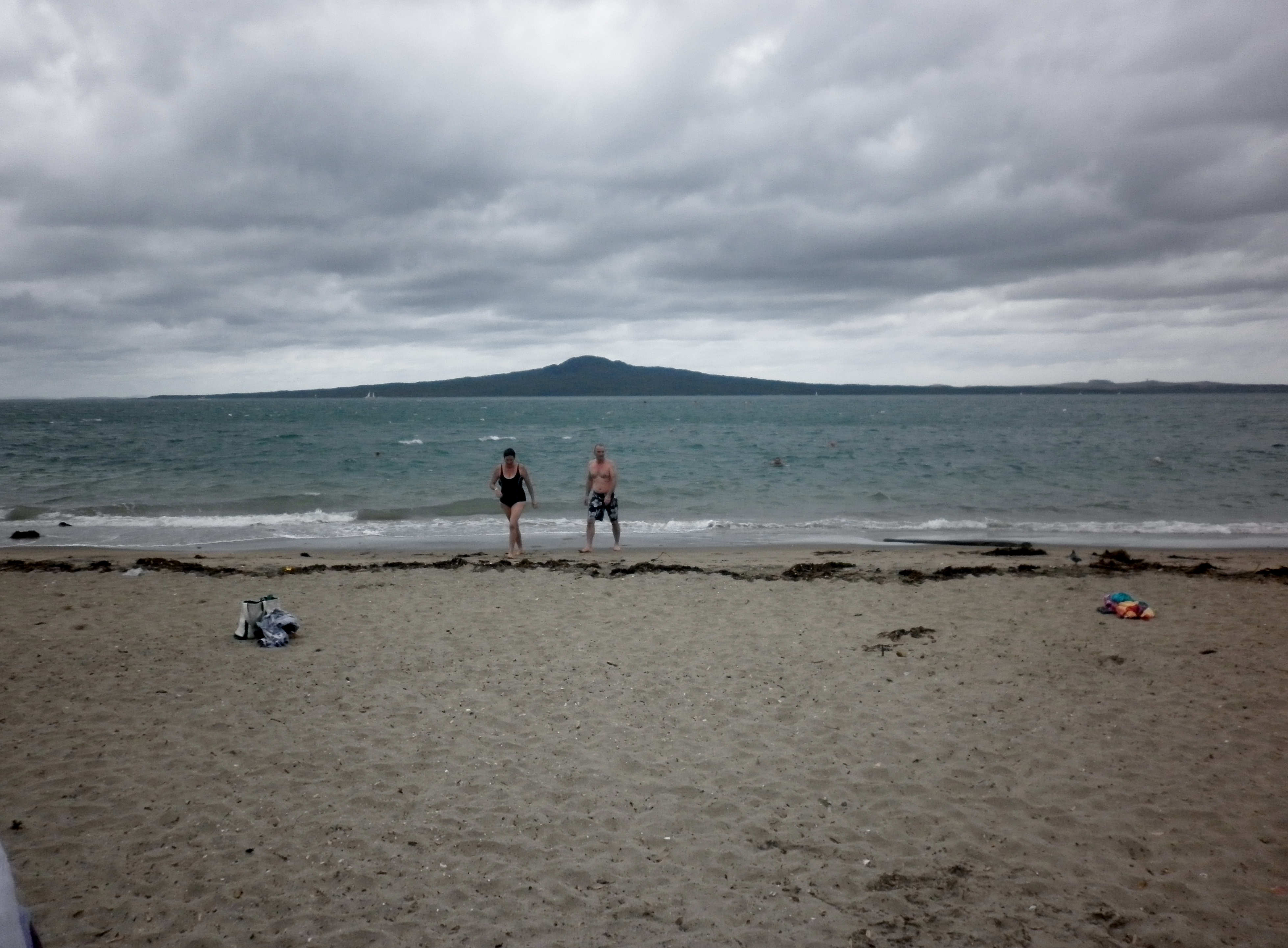
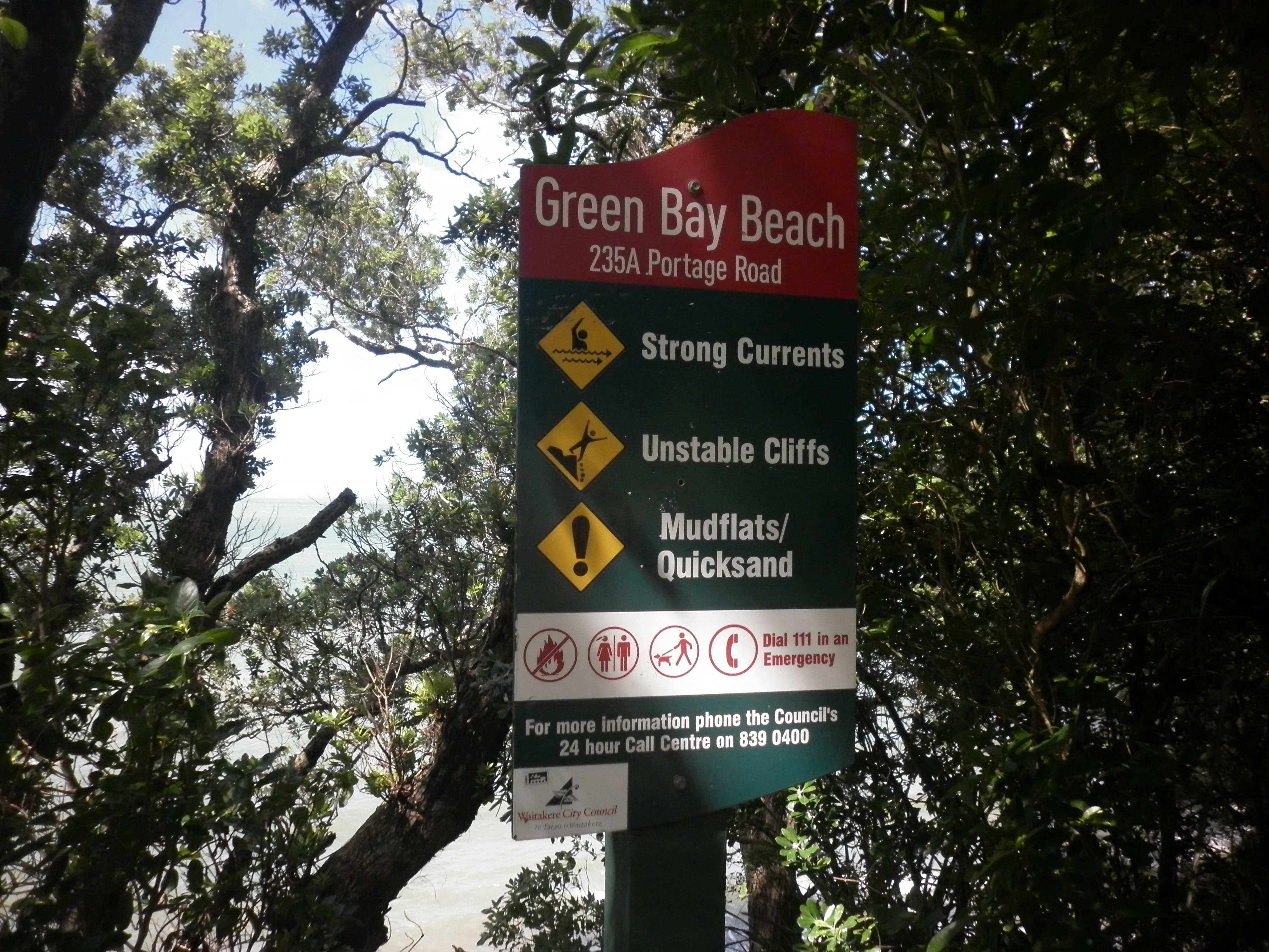
But there is still something I have been meaning to write about for a while. Auckland is the home of three harbours. The Waitemata harbour is the most popular, and on a sunny day the water reflects the light in such a way that it appears to sparkle. Next is the less popular Manukau harbour. This harbour gets a bit of a hard time due to being the home of an extensive sewerage plant, and also, the Auckland International Airport is located on its shores.

The main point of the post today is to skite a bit about the Kaipara harbour. Due to council defined boundaries, only half of this harbour is actually located in region of Auckland. But taken as a whole, apparently the Kaipara harbour is the largest natural harbour in the world. Due to my close proximity to the Waitemata and Manukau harbours, I hardly ever visit the Kaipara harbour but I would like to do so more in the future. The last time I was in its vicinity was over ten years ago when I visited friends who had a holiday home on its shores.

The word ‘harbour’ has just gone strange. You know, I’ve repeated it so many times here that it seems like a foreign word. Harbour harbour harbour. You can harbour a grudge. Perhaps it is derived from a word that means ‘holding place’ or similar. It can also be spelled ‘harbor‘. I did not know that until Wikipedia told me just now. Yes, it is derived from and old english word ‘herebeorg‘ which means troop (or army) shelter. It is a place of refuge, or safety. We can harbour a criminal, or a grudge. Keeping them both safe. Apparently. I think that harbouring a grudge does not keep me safe. Interesting. Harbouring the criminal and the grudge keeps THEM safe, but not the person doing the harbouring.

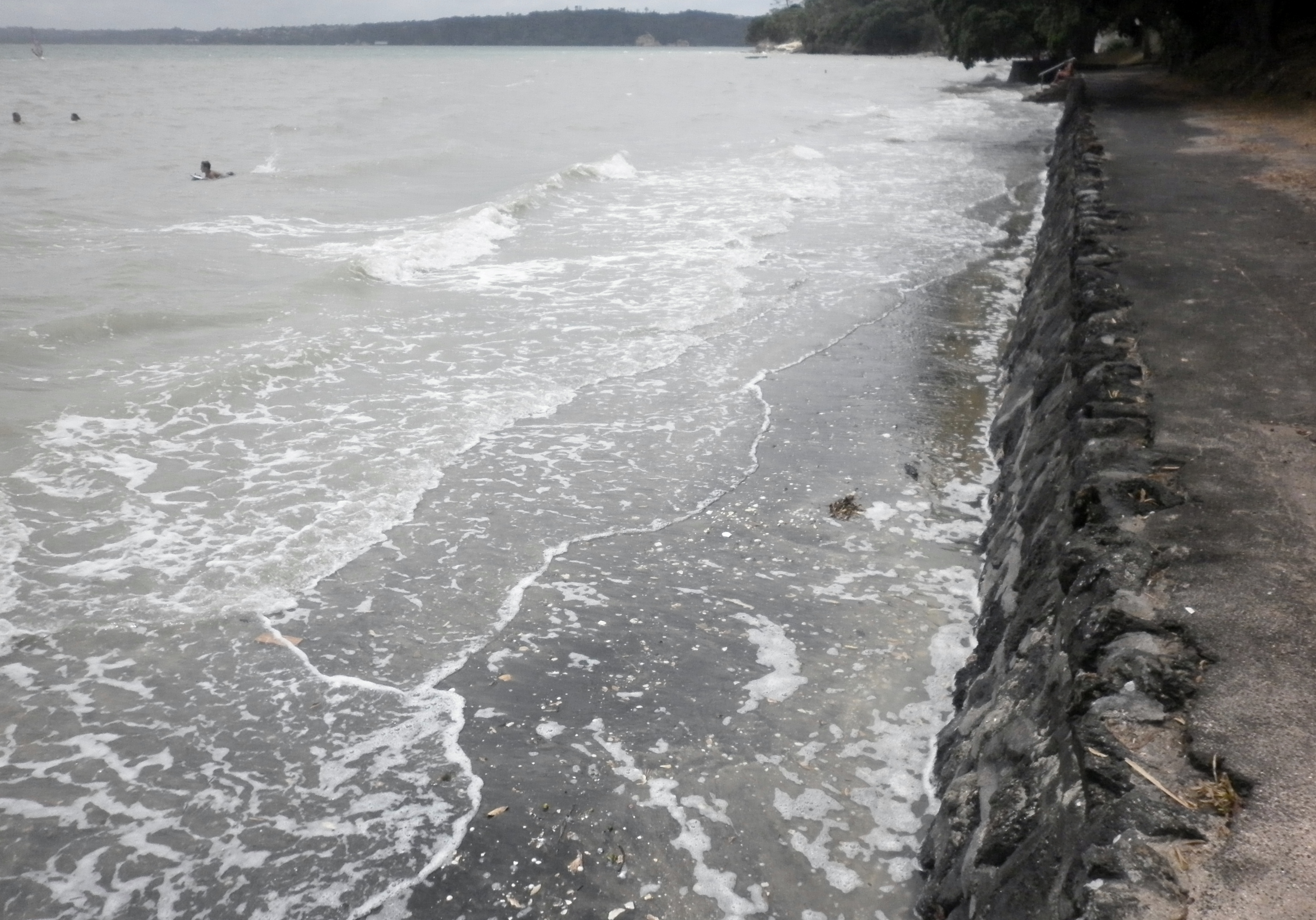
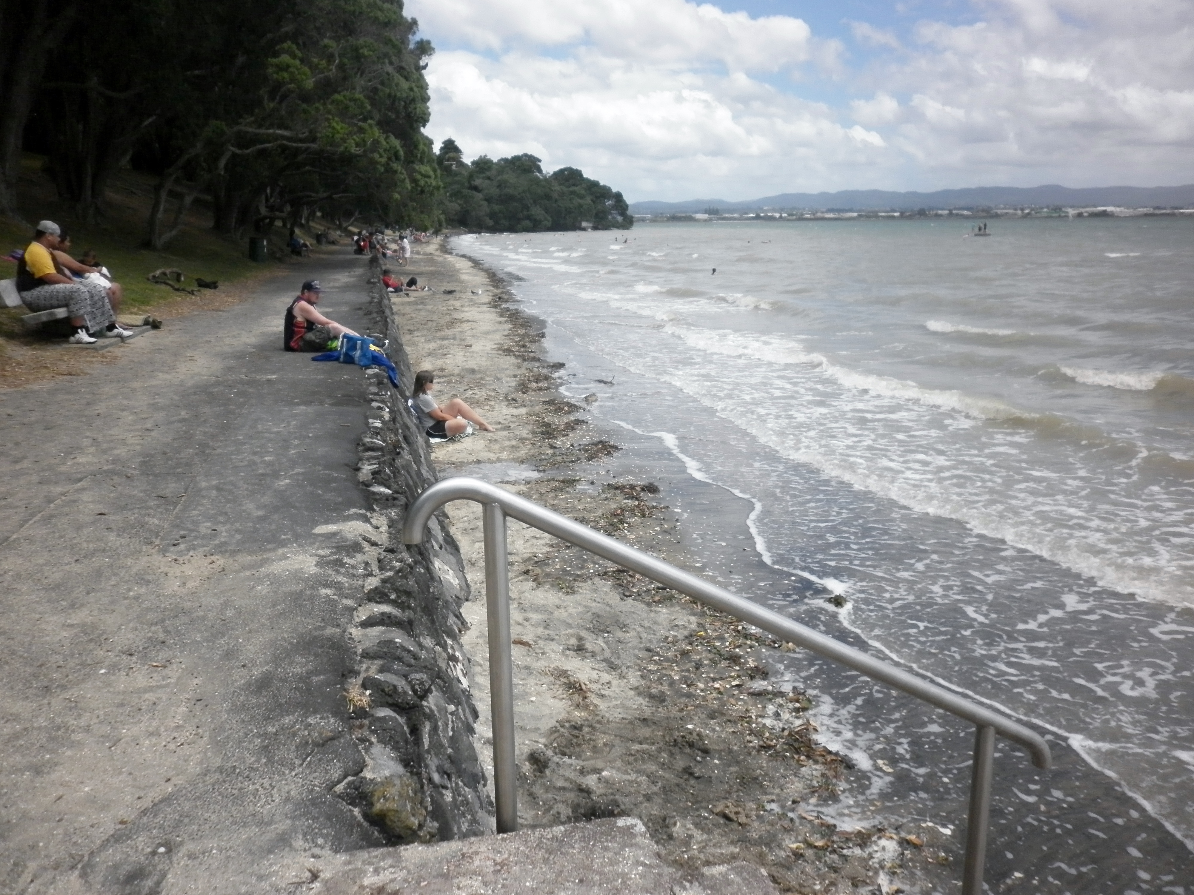
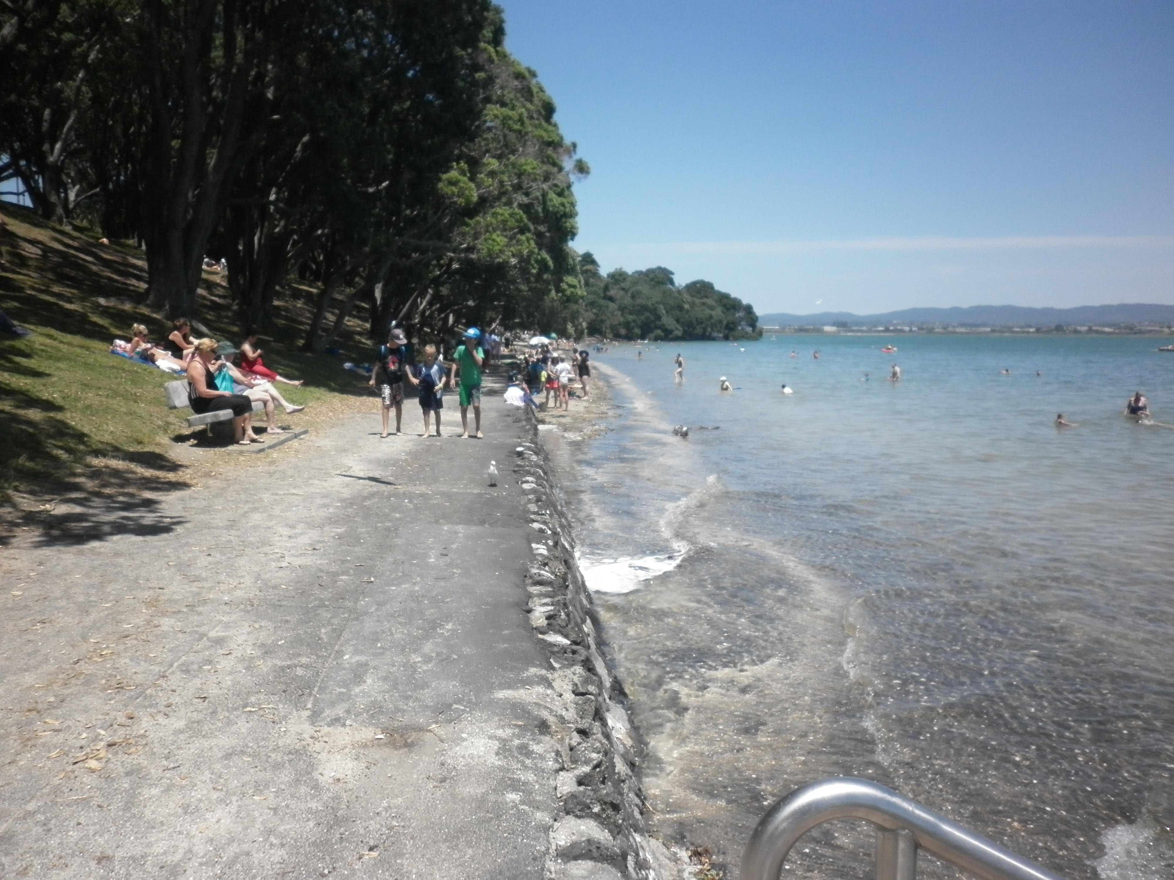
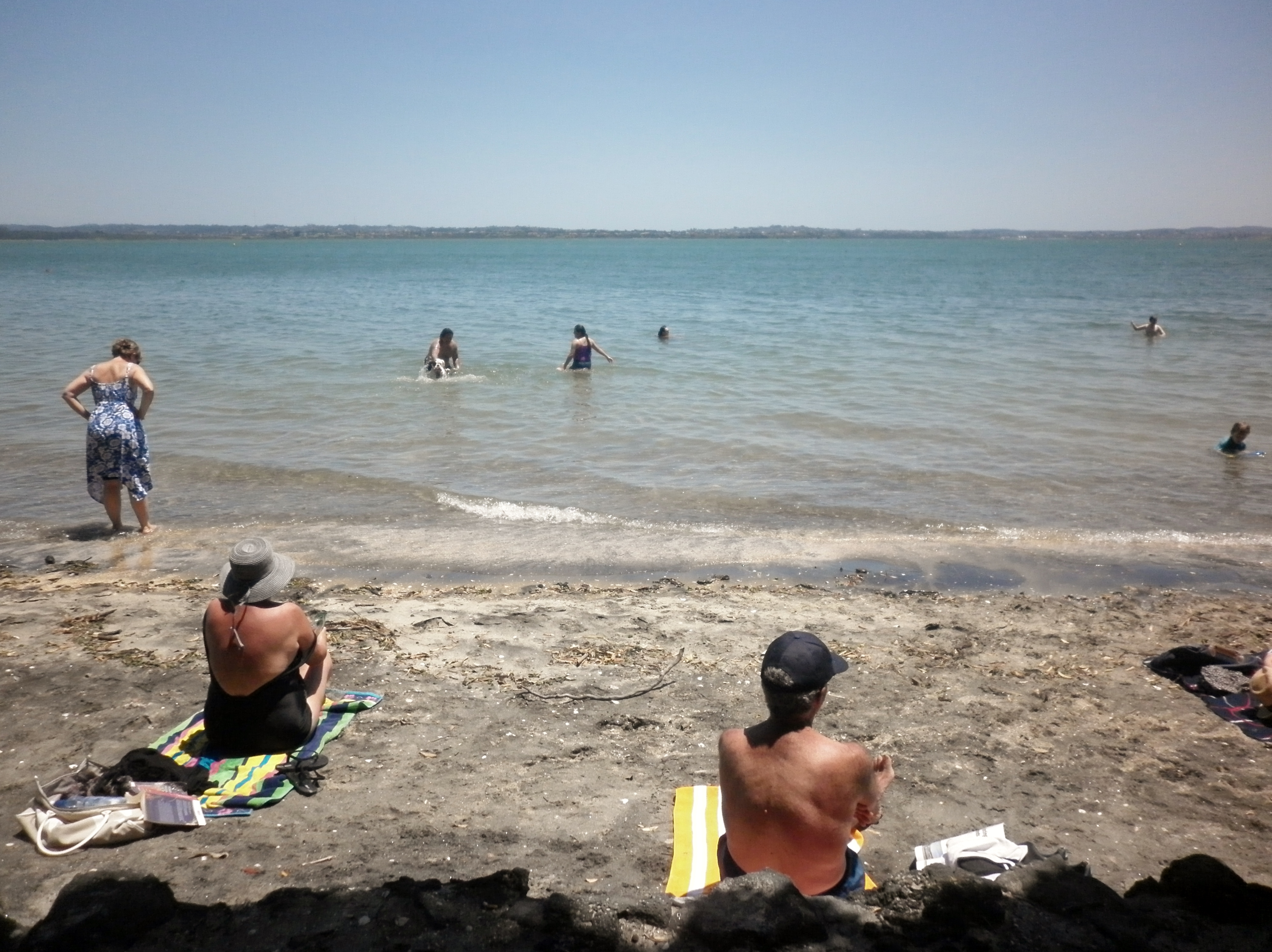
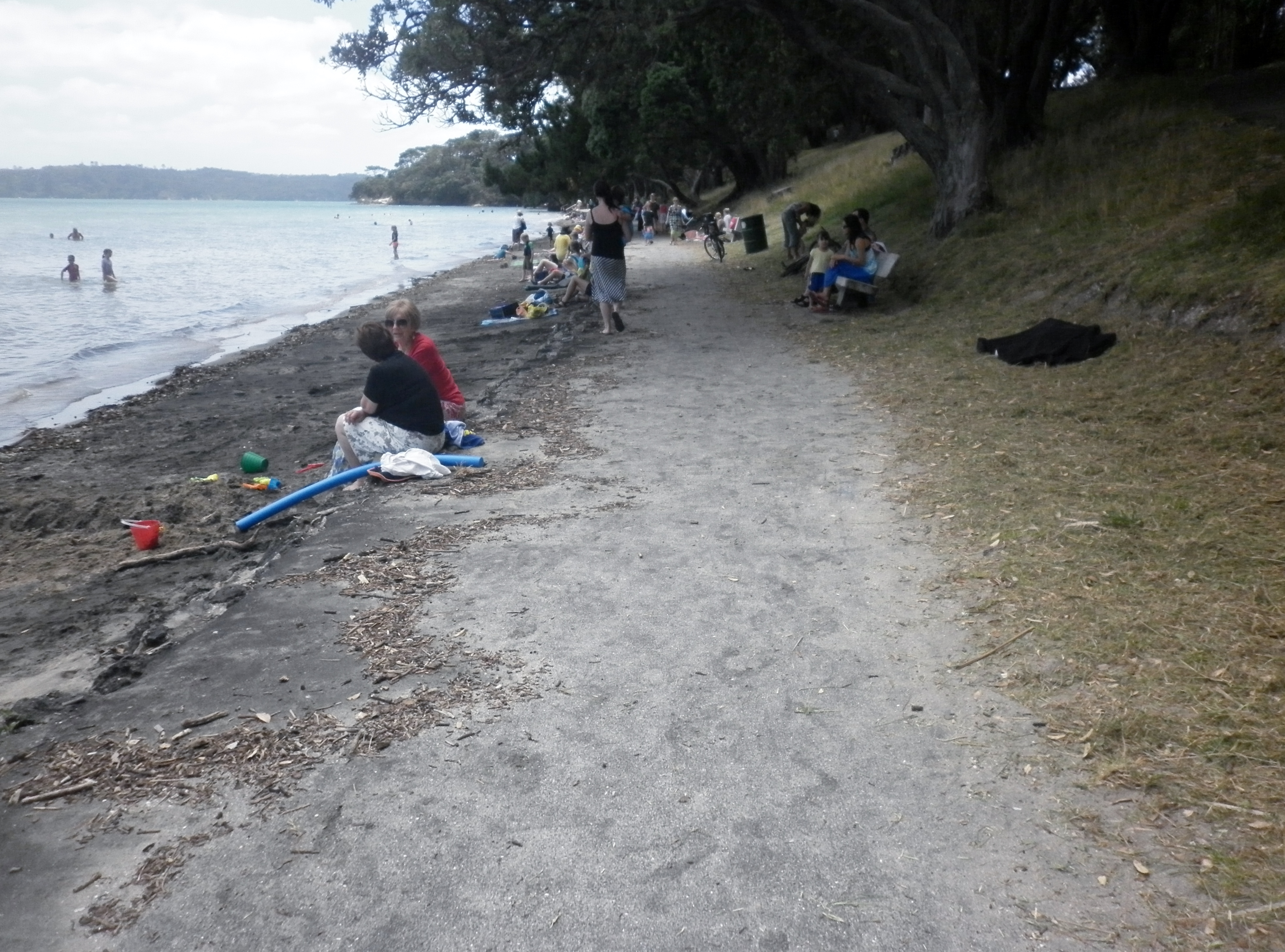
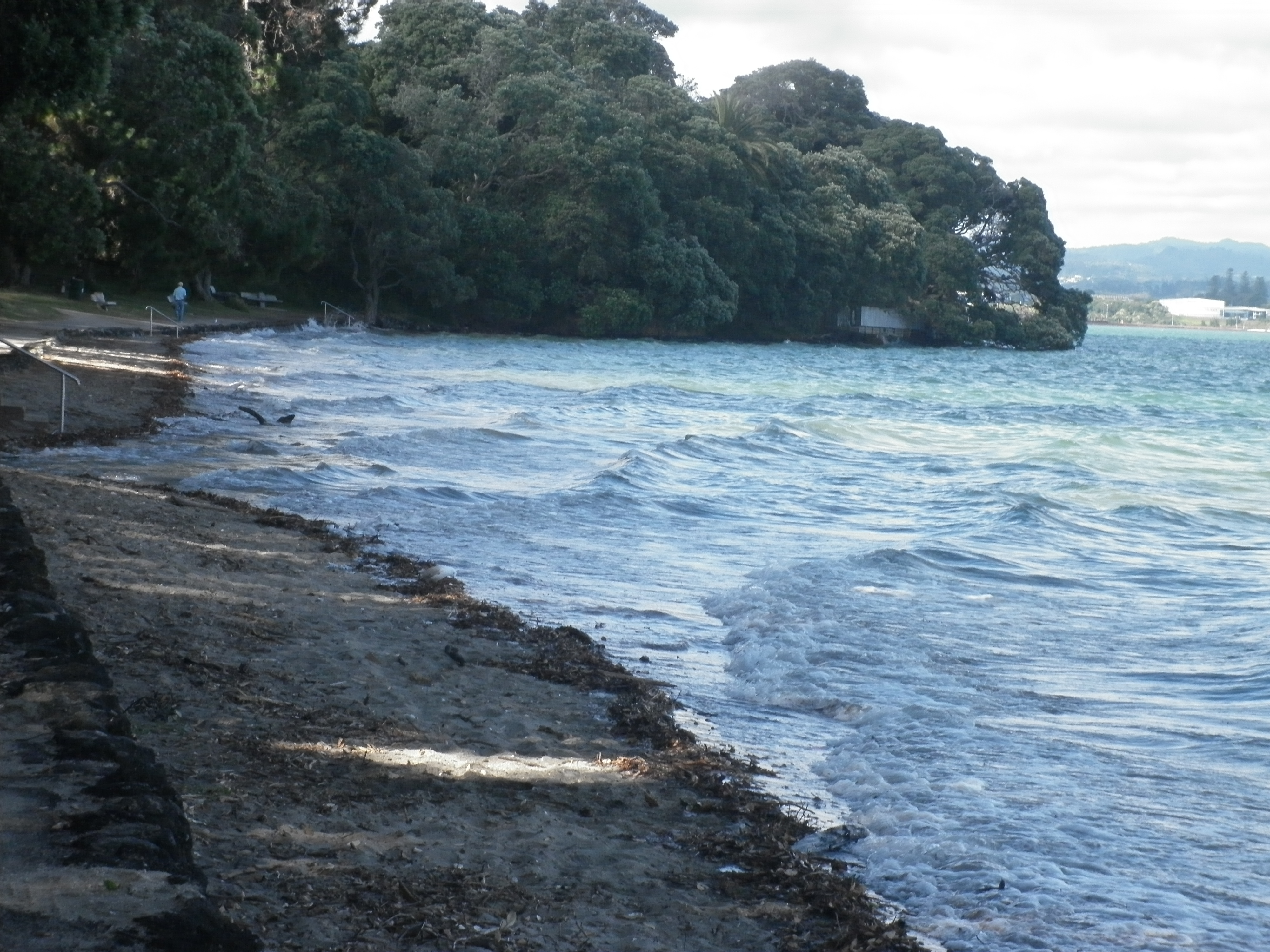
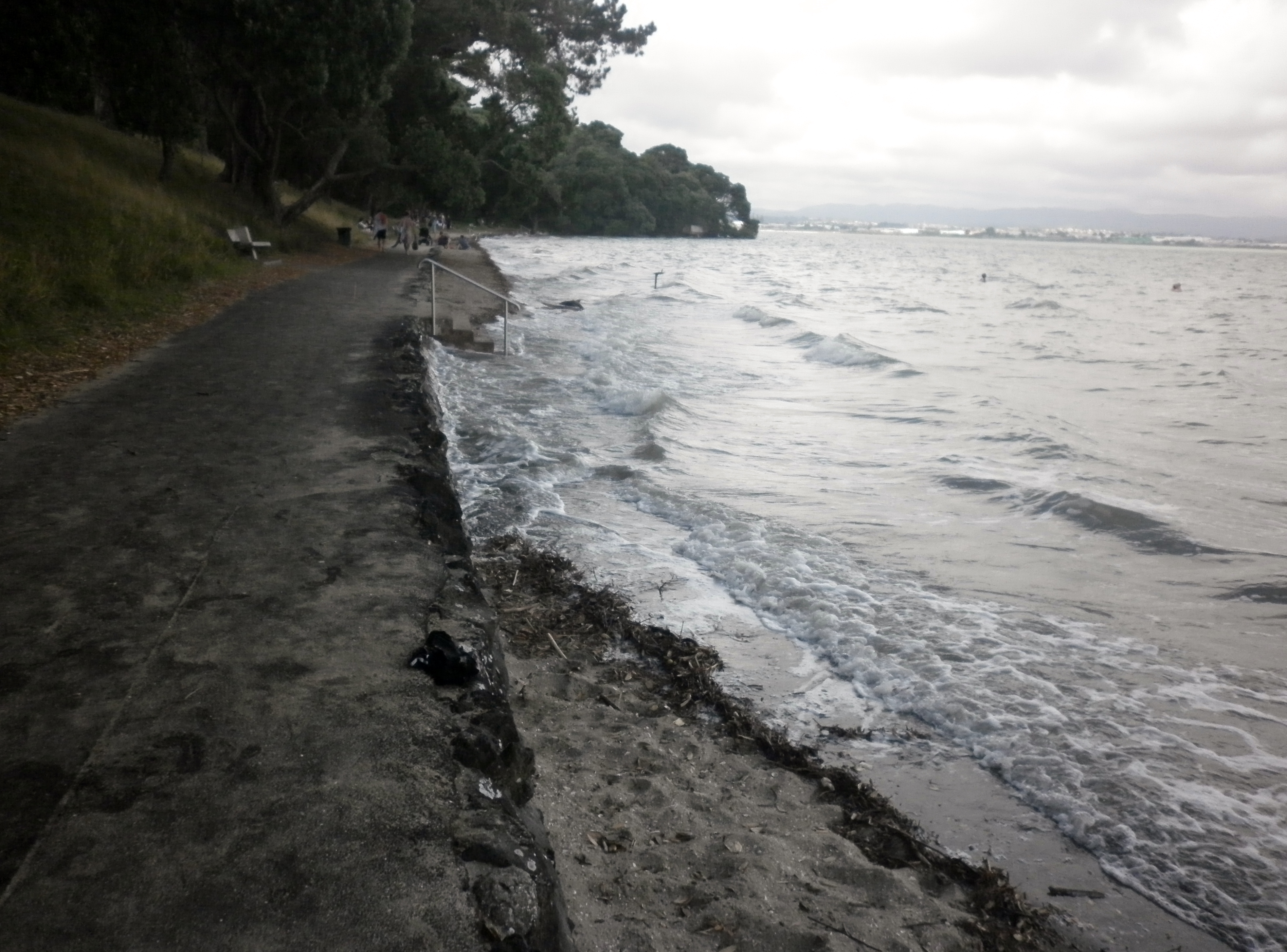
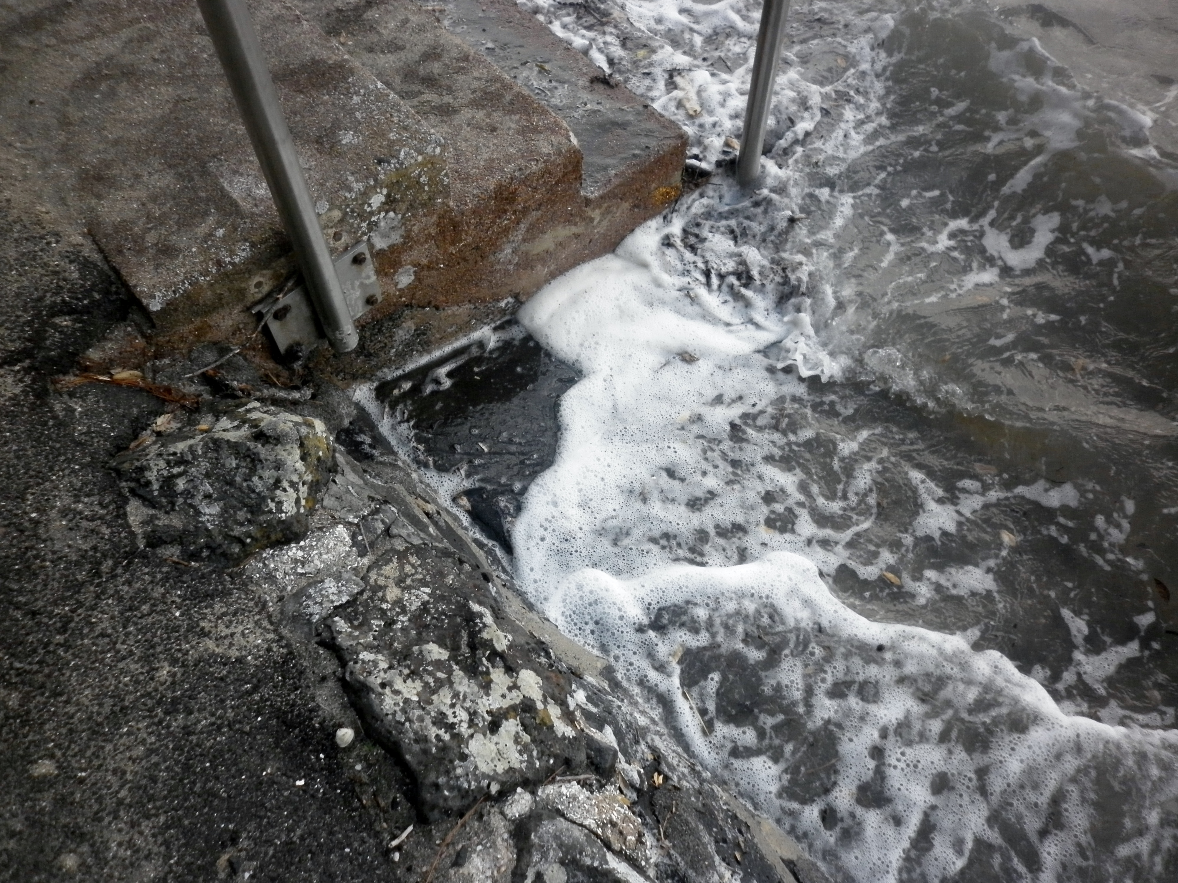
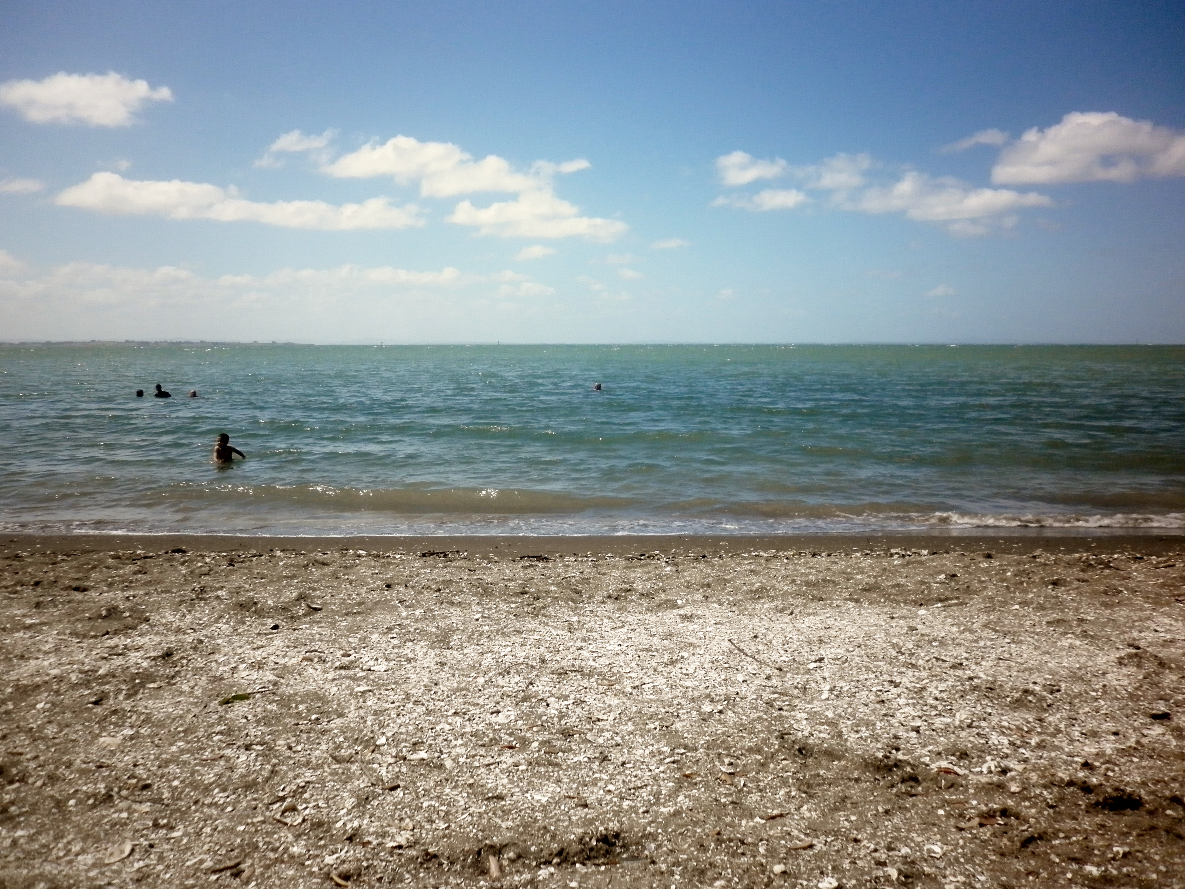
So, do our harbours keep us safe while compromising themselves? In the case of the Manukau I would have to agree. And even the Waitemata. I’m a bit of a purist. I’ll come out of the closet. I just LOVE unmodified beaches. Beaches with their own dunes, without pavements, seawalls and the like. The Waitemata has been messed about with a lot. Some people would not agree with my perspective. They would think that this messing about is a good thing as it enables progress. It enables transport through the construction of motorways, bridges and so on. But I love the unexpected symmetries and asymmetries that are found on an unmodified shoreline. The way the estuarine waters curl and carve there way across estuarine muds. And the way that dunes rise and fall in response to changing winds, storms and tides.

Another rough day

It was incredibly windy at Pt Chevalier beach during a 3.2m high tide at 1.56pm on Wednesday 8th of January. So, the activity of sitting on the beach was somewhat chilly, but, this was contrasted with the relatively warm water temperature. The ‘swim’ consisted of jumping up and down in the waves and was heading towards being an experience similar to that found on a west coast surf beach such as Piha.

P1020168

High tide at Pt Chevalier beach looking towards the north

One result of the high tide waves managing to meet the seawall is that it gives the impression of a giant swimming pool. Pt Chevalier beach is located in a harbour estuary, which also gives the impression of a swimming pool. These seemingly contained spaces enable us to forget that the sea is connected up everywhere and that there is only one sea, really.

P1020169

High tide at Pt Chevalier beach looking towards the south

The flattened beach profile and lack of sand on the upper beach is still evident. Several years ago this beach was nourished or ‘resanded‘ in order to mitigate beach erosion. Mission Bay and Kohimarama have also been nourished, and it has been argued that the order in which these beaches received this expensive practice was related to property values.

A flattened Pt Chevalier beach

A 3.4m high tide was scheduled for 1.03pm on Tuesday the 7th of January. Many people were taking advantage of the settled weather. The beach profile was noticeably flat, a response to the recent ‘storm’. During calm weather, sand collects on the beach and forms dunes, then in rough weather these dunes protect the land beyond as they provide a buffer that absorbs wave energy. Some of the sand will be transported from the dune on the shore to an offshore bar under the water, which then provides a mechanism for waves to break further out to see, which in turn, reduces the amount of wave energy that lands on the shore.

P1020159

High tide at a somewhat flattened Pt Chevalier beach

The flatter profile is evident by the proximity of the high tide to the pavement area, and by observing swimmers standing waist deep in water a fair way from the shore.

P1020163

Pt Chevalier beachgoers on a calm sunny day

Evidence of a higher than usual high tide at Pt Chevalier beach

A lunchtime high tide on a relatively calm day brought quite a few people to Pt Chevalier beach on Monday the 6th of January. A line of  debris along the pavement is evidence that a recent higher than usual tide reached beyond the small sea wall. This could have occurred yesterday when we were faced with the relatively strong westerly at Kohimarama as this would have been heading straight into the west-facing Pt Chevalier beach. The combined effects of a spring tide (3.6m), strong onshore wind and low air pressure (usually accompanied by unsettled weather conditions) usually generates a higher than usual tide, and it is likely to be what occurred at Pt Chevalier yesterday.

P1020147

Evidence of a recent very high tide at Pt Chevalier beach

The relationship between air / ambient / atmospheric pressure and water level is something that completely astounds me. I had thought that water always took up the same amount of space but when atmospheric pressure is high it pushes down onto water making the level lower. In New Zealand this is what happens on a calm, sunny day. Low barometric pressure exerts less force upon the surface of the water, so it is, in effect, higher and can add a few cm to a high tide. The recent high tide has formed a small dune scarp or ridge of sand in front of the stone wall as waves have shifted sand from here to elsewhere.

P1020151

A small dune ‘scarp’ has formed in front of the pavement at Pt Chevalier beach

The day after the day before

A small group of us ventured to swim at Kohimarama on the 5th of January. There was a 3.6m high tide at 11.18am. At first, we were accompanied by a fairly strong breeze but by the time we left, this had transformed into a public sandblasting experience.

Kohimarama is surrounded by another affluent suburb and it is the next beach eastwards from Mission Bay. I was somewhat distracted by the fact that I had friends with me so did not take many photographs.

P1020138

The view of Rangitoto Island from Kohimarama beach on yet another grey and windy Auckland day

A swim in these vigorous conditions is an excellent antidote if you are feeling under the weather due to overindulgence of the partying kind. It was my birthday the day before this swim and festivities had extended into the early morning hours, so the late morning swim was incredibly restorative.

P1020141

View from Kohimarama beach looking east towards St Heliers

Point Chevalier beach on January 3rd and 4th

On January 3rd the 3.5m high tide at 9.35am was further amplified by a brisk onshore northerly. This is a change from the prevailing westerly, so the waves were breaking onshore at quite a different angle to usual.

P1020104

Waves approaching the shore from the north, rather than the west at Pt Chevalier beach

On January the 4th, the tide was even higher (3.6m) and the northerly was even stronger during high tide at 10.27am. Waves are hitting the small sea wall and pavement that are situated where a row of sand dunes would have been before the beach was modified. Sand dunes absorb the energy of dissipating waves, whereas hard structures reflect it back.

P1020129

Strong onshore winds at high tide on January 4th 2014 at Pt Chevalier beach

Wave energy is being reflected back into oncoming waves. This is how sand is eroded from the area in front of a hard structure.

P1020132

Waves bouncing off a hard structure – if there is enough energy, sand is entrained and moved away

First swim of the new year

Despite good intentions, I did not have a swim yesterday as the New Year’s Eve celebrations took their toll. This morning, the tide was in on the Waitemata at 8.43am, so I figured Pt Chevalier would be supremely swimmable at 9am as it takes about 15 minutes for the tidal peak to reach there from the Auckland tide datum at Westhaven.

Sure enough, at 9am the water was seemingly flooding the beach due to a high high today (3.5m), which did not leave much accessible sand on the shore.

P1020086

The sun making inroads by 9am at Pt Chevalier. Sand is immersed along much of the shore due to 3.5m high tide

The water was relatively hard to get into but the swim made worthwhile. I’m getting better at my various ‘strokes’ (back and breast lol) plus I’ve been doing a bit of freestyle. Until recently, this has been tricky due to running out of breath (and not breathing properly) but these problems are ironing themselves out.

And I saved a bee. I had waded out up to waist depth, to find a bee wriggling around on a (partially) floating pohutukawa leaf. These leaves are not big, and it looked like a sad little struggle that was about to end in a drowning. But I picked up the leaf and its resident bumble bee then waded back to shore and deposited them among the grass on dry land.

New Year’s Eve

I wanted a swim in the morning and the Manukau high tide was at 10.23am so I thought I’d check out Green Bay as a friend had told me it was relatively close to where I live. So I did. This is what I saw…

P1020042

Not very inviting for swimmers

The ‘friend’ who had recommended Green Bay for swimming could actually more accurately be described as an ex. Perhaps he does not have my best interests at heart. Anyway, I walked further down the path to find that the beach itself was very windy and I was not gripped by a passion to swim right here, right now.

P1020043

Green Bay

So, I left Green Bay and carried on further west to French Bay. It was about an hour after high tide when I arrived but there was still plenty of water for swimming and quite a few people were taking advantage of the sunny day and doing so, despite a strong westerly wind coming in from Manukau Heads.

P1020047

French Bay